Photographs of the town and gorge of Cheddar, Somerset, England
Photographs of the town and gorge of Cheddar, Somerset, England
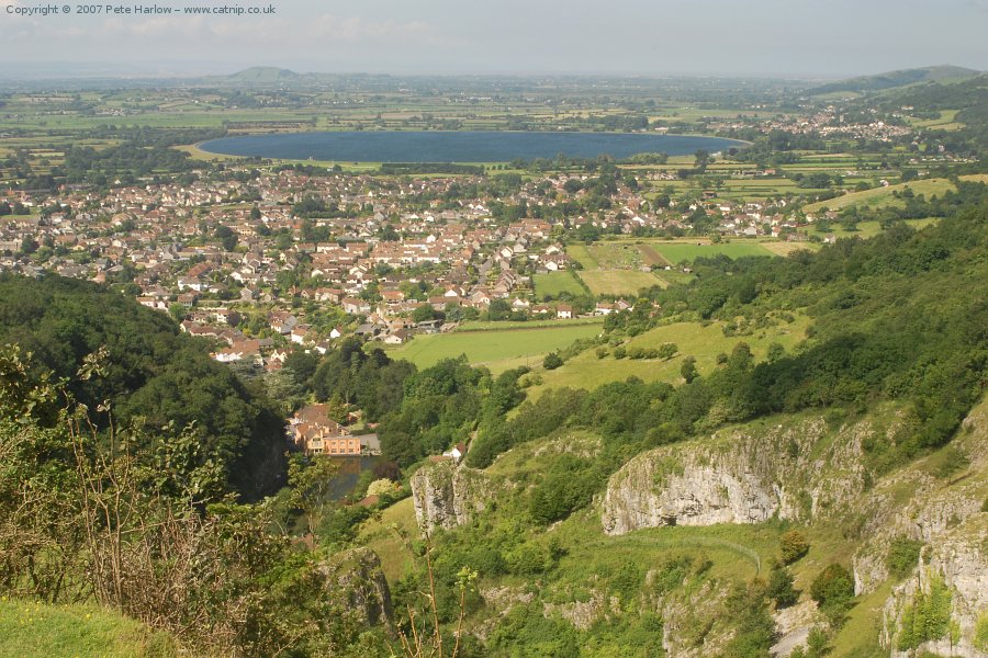
Standing on top of the southern cliff of Cheddar Gorge, there is a splendid view. In the foreground there is the gorge, at the bottom of which can be seen the mill pond and mill. Behind is the town of Cheddar and Cheddar Reservoir. To the right of the reservoir lies Axbridge. In the haze to the left the Quantock Hills are just visible on the horizon, whilst on the right the foothills of Mendip amble down to the Bristol Channel.
Nikon D200 AF Nikkor 35-80mm
2007-07-24
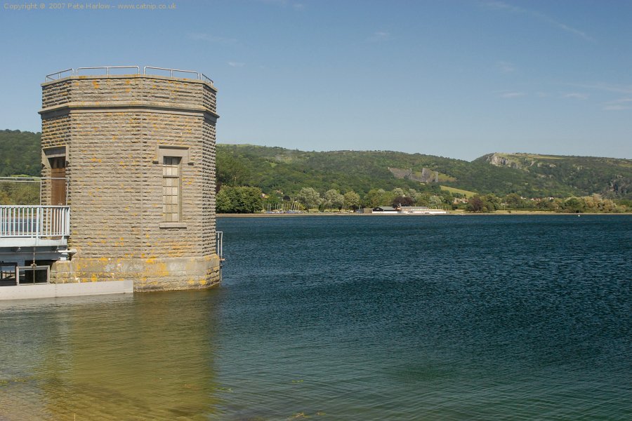
Here is the view looking in the opposite direction to the picture above, from Cheddar reservoir towards the Gorge.
Nikon D200 AF Nikkor 35-80mm
2007-07-24
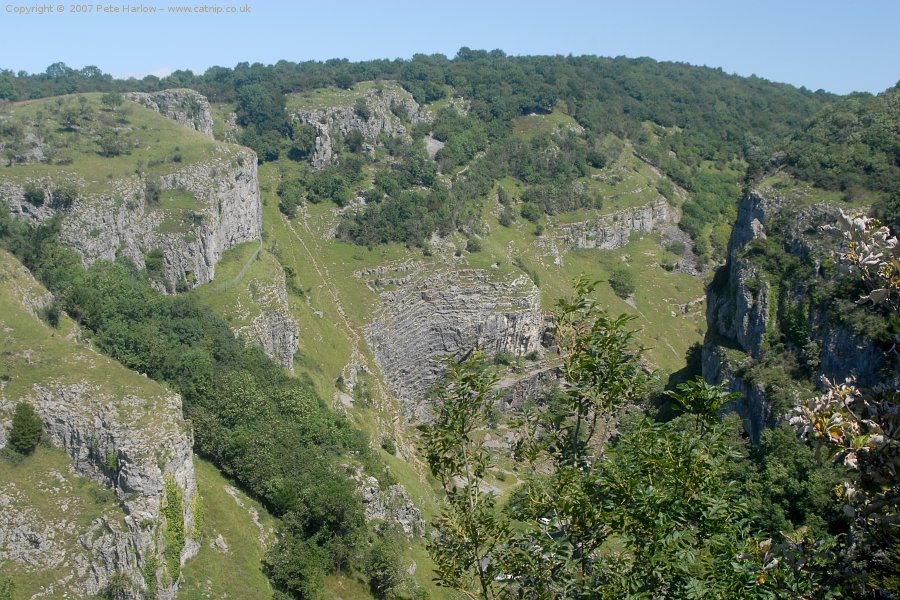
A view of Cheddar Gorge from the top of the southern cliff. The maximum depth of the gorge is 113 metres.
Nikon D200 AF Nikkor 35-80mm
2007-07-24
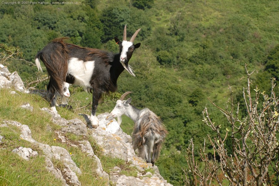
The southern side of the gorge is owned by the Longleat estate, who have introduced goats to encourage the biodiversity of the area.
Nikon D200 AF Nikkor 35-80mm
2007-07-24
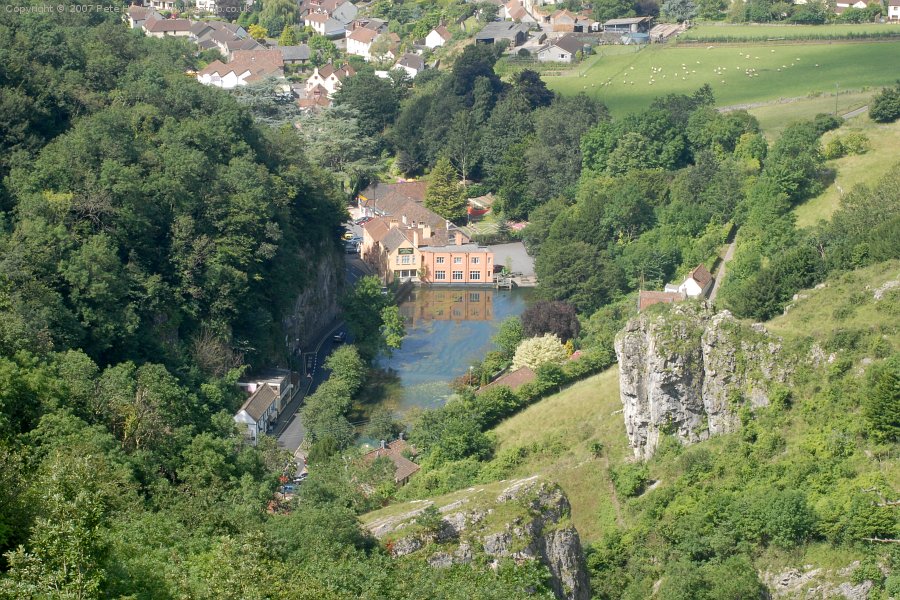
This is the Cheddar mill pond as seen from the top of the southern cliff.
Nikon D200 AF Nikkor 35-80mm
2007-07-24
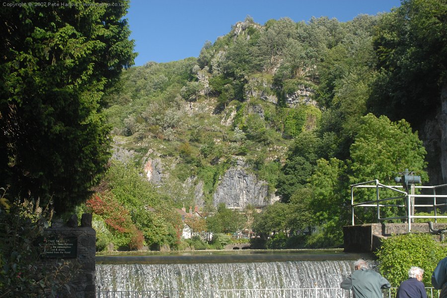
This is the opposite view to the previous picture, looking up at the southern cliff from just below the mill pond.
Nikon D200 AF Nikkor 35-80mm
2007-07-24
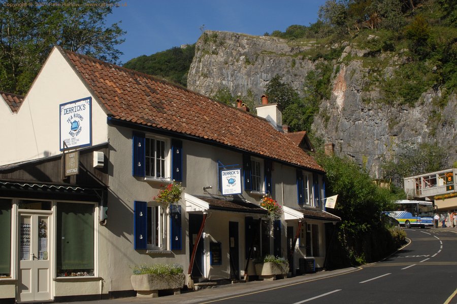
These tea rooms are one of many businesses catering for the tourists visiting the area.
Nikon D200 AF Nikkor 35-80mm
2007-07-24
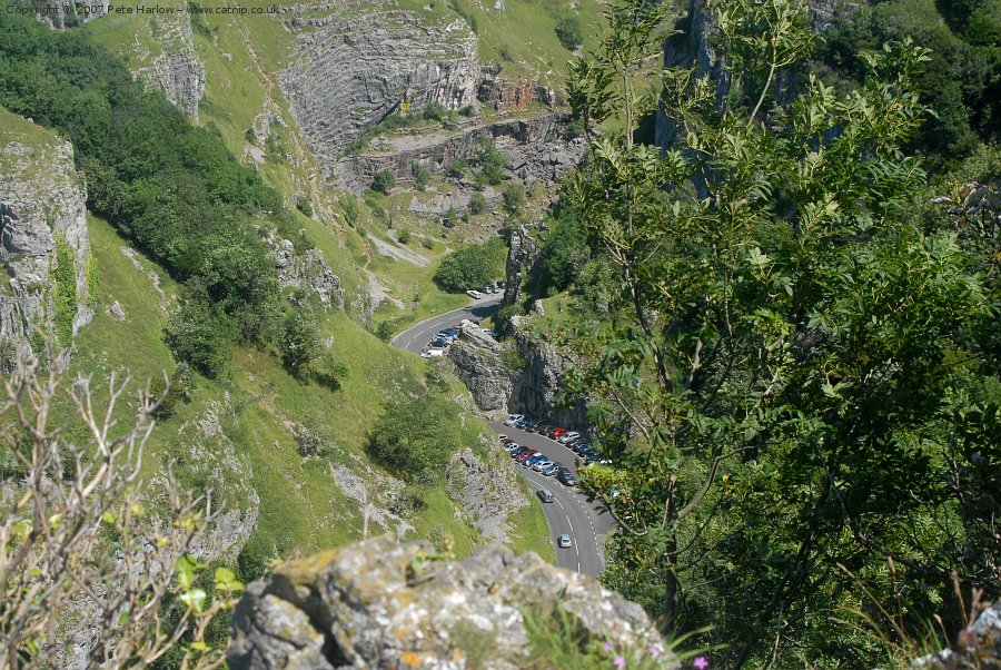
The B3135 winds up through Cheddar Gorge.
Nikon D200 AF Nikkor 35-80mm
2007-07-24
Web Design and Programming by Catnip Multimedia
Copyright ©
2007 - 2013
Pete Harlow All Rights Reserved 13951
#CatnipCorner @catnip.uk